
Finding People Along a San Joaquin Street
A San Joaquin County street directory search moves from the physical place to records created for different reasons. GIS identifies the parcel and nearby APNs. The Assessor ties the situs to assessment facts, while the Recorder follows ownership instruments. Permits add construction events, and approved voter data or a dated reverse directory may add a household clue. Each source answers a narrow question.
- Start in GIS. Enter the address in the San Joaquin GIS parcel viewer, identify the parcel, and record its APN, boundaries, and map reference.
- Check the Assessor. Use the APN and situs in county property resources. Keep the parcel location separate from the owner mailing address.
- Turn the APN into a deed trail. Search the current owner as grantee, then follow the earlier grantor as a prior grantee while comparing legal descriptions and dates.
- Add permit history. Ask the city or county office for an address-specific permit card, inspection, final date, or code record. This adds physical change, not occupants.
- Use voter records only through the allowed route. A voter can authenticate a personal record through My Voter Status; a street or block extract needs an approved purpose.
- Finish with reverse directories. Library and museum criss-cross sections can identify a listed occupant for a publication year. Treat it as dated evidence.
The order matters. A name can mix parcels, and a street can hide an older legal description. Preserve the APN, date, and source type at every handoff.
San Joaquin County Address Records
San Joaquin address records answer different questions. GIS shows land and adjacency; the assessment screen shows parcel facts; the Recorder index shows parties to instruments. Municipal files show projects, while approved voter data and reverse directories add dated name clues. No row is a complete resident roll.
| Record source | Keeper | Address clue | Access path |
|---|---|---|---|
| GIS parcel map | San Joaquin GIS | Parcel shape, adjacent APNs, street segment, and visible layers | Free map; not a survey |
| Assessment roll | County Assessor | APN, situs, values, use facts, and releasable roll or mailing fields | Public screen, counter, or data request |
| Recorded instruments | Recorder Division | Grantor, grantee, instrument type, date, document number, and legal description | Portal, counter, phone, and archival fallback |
| Permit or planning file | Relevant city or county office | Applicant, owner, contractor, work, inspections, and final dates | Permit inquiry or focused CPRA request |
| Approved voter extract | County Registrar of Voters or California SOS | Residence or mailing address, precinct, and other authorized fields | Qualified purpose and application |
| Reverse directory | Chavez Central or Historical Museum | Listed occupant tied to a publication or archival date | Library or appointment archive access |
These clues fit family history, property curiosity, civic review, and reconnecting with a known place. An owner may not occupy the situs, a listed occupant may have moved before publication, and a permit applicant may be an agent.
San Joaquin GIS Street Browsing
San Joaquin GIS is the practical whole-street start because the map moves from one address to shared-boundary parcels. A click can expose an APN, but the viewer is not a survey and no unrestricted radius or buffer tool was verified. Note the map date when the block matters.
The county's homeowner and parcel guidance connects map work to the Assessor's records.
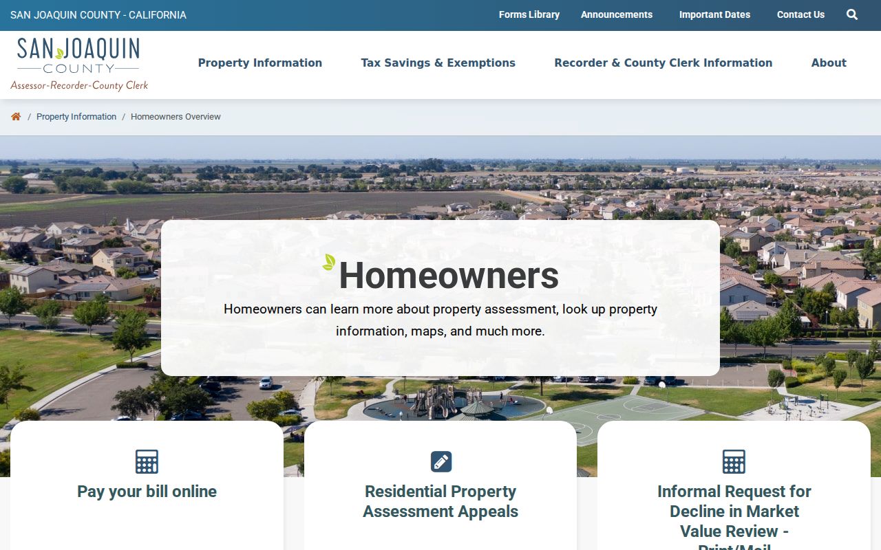
Collect APNs from the parcel view, then open each record separately. A map label is a lead; compare the Assessor screen with the Recorder legal description.
| GIS or Assessor control | Type | Required | Street use |
|---|---|---|---|
| Address search | Text or geocoder | No | Navigate to a situs; exact syntax should be checked in the live viewer |
| APN | Text | No | Open a parcel-specific record after a map click |
| Zoom and pan | Map controls | No | Browse a full block or street segment |
| Identify or click parcel | Map action | No | Obtain parcel attributes and an APN |
| Layers | Checkbox or tree | No | View parcels, boundaries, and exposed thematic layers |
| Basemap | Chooser | No | Compare street or aerial context |
| Button | No | Preserve the map context and date for later comparison |
Note: San Joaquin GIS supplies orientation and parcel relationships, while title, occupancy, and a legal boundary require separate records and careful source labels.
San Joaquin Assessor Search Fields
The San Joaquin Assessor emphasizes APNs, parcel maps, and current assessment information. An unrestricted owner-name search was not verified, so translate an address into an APN before a deeper request. Situs locates land; mailing address routes tax notices. Values are assessment figures, not proof of occupancy.
The Assessor-Recorder-County Clerk office page connects property research to recorded documents and copy requests.
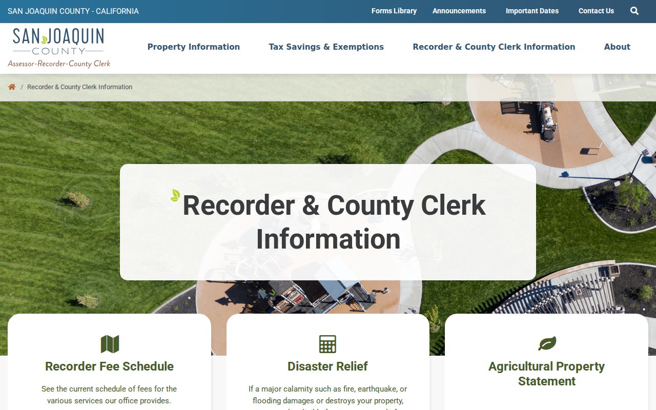
The shared office serves different records desks. Preserve the APN, situs, mailing field, and transfer reference before moving between them.
| Sample field | What the San Joaquin public record may show |
|---|---|
| APN | Parcel identifier used to connect the map, assessment screen, and related requests. |
| Situs address | Location assigned to the parcel, separate from the tax-notice mailing address. |
| Owner or mail name | Name or mailing field where disclosure is permitted; it does not establish occupancy. |
| Land and improvement values | Assessment figures and property or use characteristics, subject to public-screen limits. |
| Map and transfer references | Links or references that help move from the parcel to recorded maps or instruments. |
| Party and document fields | Recorder index role, instrument type, date, document number, book or page, and legal description. |
The July 2024 schedule lists $3 screen, building-record, or map copies; $70 basic search-roll data; ownership-enhanced data at $70 plus $0.05 per APN; and annual rolls at $600 or $650. Single-parcel characteristics can cost $18 residential or $30 other when absent from the public screen. Check the current Assessor fee schedule before relying on an older price.
San Joaquin Deed Chains By Address
The Recorder's grantor-grantee system is a party and document index, not a modern street directory. At 44 N. San Joaquin Street, Suite 260, Stockton, the Recorder supports 168 document types dating to 1851. Phone 209-468-3939. The self-service portal is the online first stop, but image access varies. Use the counter, phone, copy request, or Historical Museum assessment and plat books as fallbacks.
- Parcel
- A mapped piece of land identified by an APN and boundaries. One street can have many parcels, and one parcel can have more than one situs label.
- Situs address
- The address used to locate the parcel. It is not the same field as an owner's tax-notice mailing address.
- Plat
- A recorded map that shows lots, blocks, streets, or subdivision relationships and can preserve location when modern numbers change.
- Criss-cross directory
- An address-to-name section that reverses the usual alphabetical lookup and lists people associated with an address for a publication period.
Search the current assessed owner as grantee, record the seller, date, document number, and legal description, then search that seller as an earlier grantee. Compare the legal description or APN lineage each time. A same surname is not enough. When online research ends, ask the counter or phone desk about index books and copies.
Recorder records show ownership, security instruments, liens, releases, maps, or decrees, not every household member. Pair the owner chain with dated occupant sources.
San Joaquin Permits By Address
Permit and planning files add a building time line, not a roster. Stockton Building and Life Safety handles permits and inspections; Planning handles zoning and land-use permits. Files can name an applicant, owner, contractor, work, inspections, and final date. Stockton City Clerk records at 425 N. El Dorado Street are a city fallback. For another city or an unincorporated address, use the office with jurisdiction.
A focused California Public Records Act request should name the address or APN, record type, department, date interval, and electronic format. Ask for an existing permit row, card, final inspection, code case, or segregable portion. The California Public Records Act text is the route when a portal does not expose the file.
A permit can date a street-facing change and point back to a parcel or planning file. It cannot prove a resident's identity.
Note: Permit access follows city or county jurisdiction, so a postal city label alone should not decide which counter receives the request.
San Joaquin Reverse Directory Clues
Reverse directories are the street directory's historical bridge from address to listed occupant. Chavez Central's Local History and Genealogy Collection keeps county city directories, telephone directories, yearbooks, and Stockton newspaper microfilm. The second-floor collection is non-circulating. The Historical Museum holds city and county directories from 1852 to 1980 by appointment, but the volume list is not online.
A criss-cross section reverses an alphabetical search. Read the abbreviation page, transcribe the address and marks such as householder, rooms, or boards, then compare earlier and later volumes. A canvass date is a snapshot, and initials, married names, compound surnames, or transliteration can split one household. The San Joaquin County city directory collections carry the full historical treatment; here they are an address tool.
A newspaper notice, probate file, deed transfer, or spelling variant may explain a gap. Chavez's near-complete Stockton newspaper microfilm from 1850 helps with obituaries and social notices, but each clue needs its own source label.
When San Joaquin Addresses Change
Older San Joaquin parcels can outlast the street number in a later directory. Plats, subdivision maps, legal descriptions, and map references preserve the land relationship when a road name, postal line, or number shifts. The 1895 Stockton Sanborn atlas has 85 sheets and a dated building footprint; the Historical Museum holds maps and aerials from 1860 through 1990.
Stockton is the records seat, but Lodi, Manteca, Tracy, Ripon, Escalon, Lathrop, and unincorporated communities have separate municipal files. A postal Stockton line may sit outside city limits. Record the parcel and custodian separately, then use the digitized 1895 Sanborn atlas when the historic location is uncertain.
Rural routes, islands, tracts, and Delta addresses may need reclamation maps or plat books instead of a modern numbered-street pattern.
San Joaquin Voter Roll Limits
California My Voter Status is self-authenticated, not an open street directory. It asks for first name, last name, date of birth, and a California driver license or ID number, or the last four Social Security digits. A match can return registration status, address, party, language, ballot status, polling place, and election information to that voter.
A street extraction follows another route. Candidates, committees, and qualified scholarly, journalistic, political, or governmental users can apply. The statewide file is $100; a specific-voter request is $30 each, capped at $100 for ten, with review usually 7 to 14 business days. San Joaquin's application requires intended use, security details, photo ID, wet signature, and mail or in-person delivery.
Authorized files may include name, birth date, registration date, residential or mailing address, precinct, contact, party, optional history, and district fields. They exclude ID numbers, Social Security fragments, signatures, preregistration minors, and confidential voters. History shows whether and how a ballot was cast, never the selections. Use My Voter Status for self-checks and the state voter-file route or San Joaquin application only when qualified.
Note: A non-match in My Voter Status can reflect an identifier mismatch, recent registration, cancellation, confidentiality, or no registration; it is not proof that a person is absent.
San Joaquin Postal Lines And Jurisdiction
USPS delivery geography and San Joaquin municipal geography do not form a clean county polygon. A Stockton mailing line can describe unincorporated land, and edge addresses can use a neighboring postal community. Verify the address with USPS, then use GIS to decide which city or county office handles the request.
The USPS address lookup uses street address, apartment or suite, city, state, and ZIP fields when known. Its result can standardize the delivery line and ZIP+4. ZIP+4 identifies a delivery segment, not a person, and a PO-box or unique ZIP should not be drawn as a residential block.
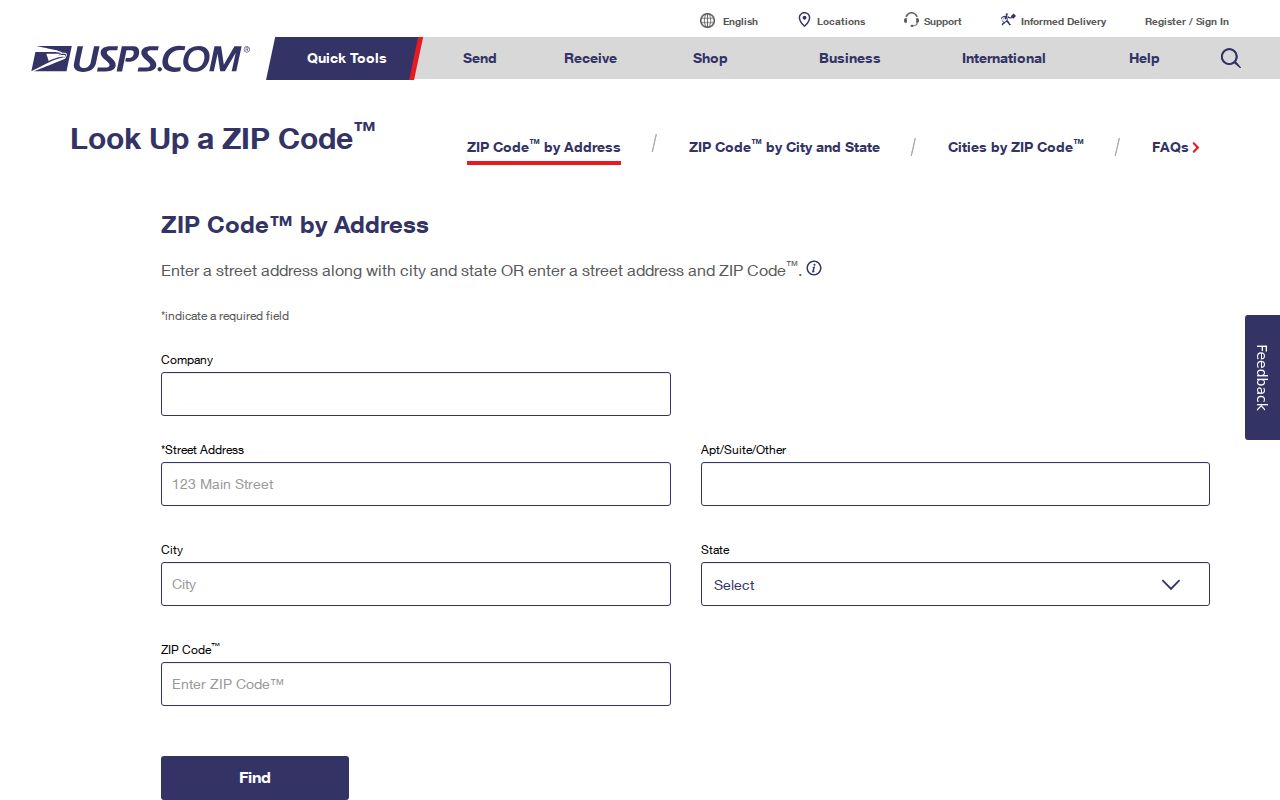
The USPS screen confirms the delivery line before a parcel search. GIS and the relevant city or county office control jurisdiction.
Preserve both labels: USPS city and ZIP for delivery, and incorporated or unincorporated jurisdiction for records. This matters across Stockton, Lodi, Tracy, Manteca, Lathrop, Ripon, Escalon, and the Delta.
San Joaquin County Street Directory Limits
No San Joaquin County street directory can show every person connected to an address. The Assessor's owner field is not an occupancy statement. A reverse directory is dated. Voter information is protected, utility and delivery records are not public sources, and motor-vehicle addresses are restricted under the federal Driver's Privacy Protection Act. Safe at Home can shield eligible participants with a substitute address and confidential registration.
Lawful personal use. Parcel, deed, permit, and dated directory records may support family history, property research, civic review, or reconnecting with a known place. Public access never permits stalking, threats, surveillance, or harassment. Stop when a source is protected, and verify an important fact with the custodian that created it.
A sound street directory method records what the source says, its date and access rule, and avoids turning an owner name, map click, or old listing into a household claim.