
Looking Up San Joaquin County Neighbors
A block lookup works when each source is kept in its proper lane. GIS answers which parcels touch or face the subject parcel. The Assessor supplies releasable parcel and roll fields. A qualified voter-file request can add address and precinct data, while a historical directory can show a listed person at a past date. Planning agendas and public group pages show civic activity, not private membership. San Joaquin County has no verified countywide association roster, so a neighborhood search must not imply that every nearby household belongs to a named group.
| Block source | What the block record shows | Access route |
|---|---|---|
| San Joaquin GIS | Subject parcel, shared boundaries, nearby APNs, street labels, and exposed map layers | Free interactive map |
| Assessor parcel resources | APN, situs, values, use facts, and owner or mailing fields where releasable | Parcel-by-parcel screen, counter, or data request |
| Approved voter extract | Registered voter address, precinct, and other authorized fields for a defined use | Qualified application, mail, or in-person delivery |
| Historical directories | Listed occupants along a dated street or address, including past block clues | Chavez Central or Historical Museum |
| Planning agendas | Applicants, owners, consultants, and parcels tied to nearby development | Relevant municipal archive or request |
| Public organizations | Officers, public contact points, boundaries, or published events | City-recognized or organization page; no private roster implied |
The table is a coverage map, not a promise that all names will appear. A San Joaquin neighbors result can include an owner who does not live there, an inactive or protected voter, a dated directory entry, or a planning applicant rather than a neighbor. Those distinctions make the block record more useful and less prone to false matches.
Clicking Around a San Joaquin Block
The clean process is address to GIS to APNs to Assessor to community sources. Start with one known location, then make a separate record for each parcel that touches it. The public GIS landing page did not expose a verified radius or buffer tool, so adjacent clicks are safer than assuming that a circular search area reflects the county's parcel map.
Process: address → San Joaquin GIS → APNs → Assessor → approved voter, historical directory, planning, or public organization sources.
- Geocode the address or enter a known APN in San Joaquin GIS. Zoom until parcel lines and street labels are clear.
- Click the subject parcel and write down the APN, then click each shared-boundary parcel. Continue across the street only after checking the numbering direction and street layout.
- Open every APN in the Assessor resources. Compare situs, owner or mailing fields, map references, and transfer clues; never treat the map label as a full record.
- Use an approved voter route, a dated directory, or a planning archive only for the question that source can answer. Keep each source's date and access rule beside the name clue.
- For a whole named street, shift to the San Joaquin County street directory walkthrough. The block method stops at the immediate edges.
For San Joaquin neighbors, this parcel-by-parcel path works on a small block, rural lane, or postal edge. Stop when a record is protected or a source cannot support the conclusion.
San Joaquin Parcel Edges Matter
Physical adjacency is not the same as social closeness. A parcel may touch another parcel at a narrow point, face it across a road, or sit behind a separate frontage. The GIS map can show the shapes and APNs, but it is not a survey and cannot decide a boundary dispute. Record whether a parcel shares a boundary, lies across the street, or was reached only by a wider map view.
San Joaquin County's city and rural pattern adds another caution. Stockton, Lodi, Manteca, Tracy, Ripon, Escalon, and Lathrop maintain distinct municipal files, while county offices keep the Assessor, Recorder, court, and election records. A postal line can use a city name for unincorporated land. The correct nearby planning or permit source follows jurisdiction, not the mailing line.
There is no verified countywide public radius search to replace these checks. List each APN and its relation to the target, so a broad neighborhood guess is not presented as a verified neighbor list.
San Joaquin Assessor Parcel Checks
The Assessor is the next stop after the map. Its public property resources emphasize APN and parcel maps, with assessment figures, property or use characteristics, map references, transfer information, and owner or mailing fields where law permits. The research did not verify unrestricted owner-name searching from the public landing pages. If a block question begins with an address, retain the APN and open each parcel rather than relying on a name match.
Situs and mailing fields have different roles. Situs places the land. Mailing address routes a tax notice. A match can support a clue, but a mismatch can reflect an absentee owner, a different mailing choice, or a protected field. Land and improvement values are assessment numbers, not a measure of who lives nearby. Detailed characteristics absent from the public screen may require a request or a priced extract.
The county fee schedule shows the difference between public access and free bulk data. It lists $3 screen, building-record, or map copies, with separate charges for roll data and some parcel characteristics. Confirm the charge with the Assessor at 209-468-2630 before ordering more than a public screen for nearby neighbors.
San Joaquin Voter Data By Block
My Voter Status is for a voter checking the voter's own record. It asks for first name, last name, date of birth, and a California driver license or ID number, or the last four digits of a Social Security number when the alternative is used. A matched self-check can return registration status, registered address, party preference, language preference, ballot status, polling place, and election information. It is not a public name or block browse tool.
A block-level extract requires an approved purpose. Candidates, measure committees, and users with scholarly, journalistic, political, or governmental purposes can apply through the state or county route. San Joaquin's application asks for the intended use, a security description, requested scope, initials beside use and transfer promises, current photo ID, a wet signature, and mail or in-person delivery. The state lists a $100 statewide file and $30 per specific voter, capped at $100 for ten voters; review usually takes 7 to 14 business days, while county fees vary.
The San Joaquin County Registrar of Voters page is the public county starting point for election services and status help.
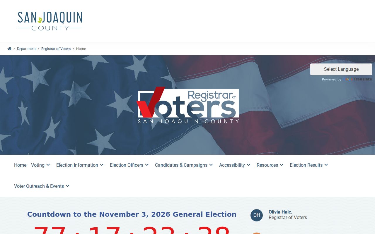
The county election office can explain the application path, but an approved file is still limited. It may contain name, date of birth, registration date, residential or mailing address, precinct, contact fields, party preference, optional history, and district data. It excludes driver license or ID numbers, Social Security fragments, signatures, preregistration minors, and confidential-voter records. History shows whether and how a ballot was cast, never the selections made.
The California voter-file request instructions show the statewide purpose and file-format rules that sit behind a qualified block-level request.
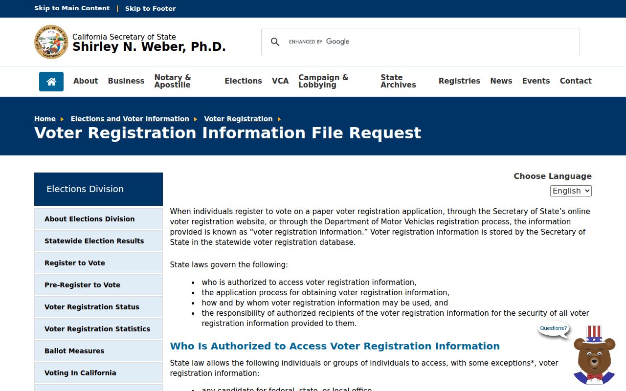
That state route reinforces the central limit: an approved data file is delivered for a stated purpose, not as an unrestricted neighborhood roster.
Note: A voter-file extract can support a qualified civic or research task, but it cannot turn a block lookup into a casual directory of protected people.
Historic San Joaquin Block Clues
When a current parcel record does not answer a family or place question, the historical shelf can put names back on a block. The San Joaquin County Historical Museum holds city and county directories from 1852 to 1980, official county archives from 1850 to 1990, maps and aerial photographs from 1860 to 1990, and the Great Registry of Voters. Its non-circulating reference library is appointment-only at Micke Grove Regional Park. The exact publisher-by-volume list still needs staff confirmation.
Chavez Central Library's Local History and Genealogy Collection keeps county city directories, telephone directories, yearbooks, and Stockton newspapers on microfilm from 1850 with a partial subject index. A criss-cross section reverses the normal alphabetical search: address first, listed person second. The entry is tied to the publisher's canvass date, so compare earlier and later volumes and watch initials, married or maiden names, compound surnames, and transliteration variants.
Community history can fill a gap without claiming a private roster. Manila Club and Hotel records preserve a Little Manila social and residential network. Chinese-language business records from 1879 to 1933, school yearbooks, reclamation maps, and obituaries can connect a person to a place when a modern block source is silent. Each is a dated clue, not proof of present-day neighbors.
San Joaquin Public Group Contacts
Public organizational contacts can help a person learn how a block association, watch program, club, or congregation handles civic questions. They do not create a public membership file. Research located city-specific groups and watch programs, but no authoritative current countywide association inventory or verified Stockton umbrella directory. The safest description is therefore a contact channel, with the boundary and privacy limit stated beside it.
| Public channel | What may be public | What it does not imply | Route |
|---|---|---|---|
| City-recognized neighborhood pages | Public officers, contact form, meeting notice, or stated boundary | Not a list of households or members | Relevant city or group page |
| Stockton groups and watch programs | Organizational contact point and public event information | Not proof that a nearby person participates | Published group or city channel |
| HOA corporation filing | Agent or officer information when filed publicly | Not a private member directory or household list | California business search |
| Congregation or club archive | Public contact or deliberately archived history | Private rosters stay private unless intentionally published | Organization or archive custodian |
Use a public contact to ask about a boundary, meeting, or records custodian. Do not ask an organization to identify a private member. This distinction matters more in a county with separate city associations and no verified countywide roster.
Privacy Limits For San Joaquin Neighbors
Official parcel and election records are narrower than a commercial neighbor-search category. The comparison below keeps the evidence level visible. A commercial category may assemble names or addresses from mixed sources, but its freshness, correction path, and source quality vary. It is not an official substitute for the GIS, Assessor, Registrar, library, archive, or planning custodian.
| Source category | Useful block clue | Important limit |
|---|---|---|
| GIS and Assessor | Parcel adjacency, APN, situs, and releasable owner or roll fields | Does not identify every occupant or household member |
| Approved voter file | Authorized address, precinct, and selected voter fields | Qualified purpose, excluded fields, and confidential records apply |
| Historical directories | Listed people connected to an address for a publication date | Incomplete, dated, and publisher-defined |
| Commercial neighbor category | Possible assembled name or address lead | Mixed sourcing, variable accuracy, and no custodian authority |
California voter residential and contact data are confidential to the general public under Government Code section 7924.000, with qualified access under Elections Code rules. Safe at Home, governed by Government Code sections 6205 through 6216, can provide a substitute address and confidential registration for eligible participants, although it cannot erase information that was already public. Utility subscriber and delivery data are not public directory sources.
Lawful personal use. A San Joaquin County neighbor lookup may support civic curiosity, family history, reconnecting, or personal safety awareness. Public access does not permit stalking, threats, surveillance, intimidation, or harassment. Stop at a protected record, and verify a serious claim with the office that created the record.
A sound block record ends with a source, date, APN or document reference, and a clear statement of what remains unknown. Nearby owner names are not a complete neighbor list, and a public association contact is not a private membership record.