
San Joaquin County ZIP Coverage by Community
San Joaquin County is larger than any one postal city. The working inventory below gathers the researched ZIP codes by principal postal community, then flags the places where a ZIP has a special function or crosses a county or city edge. It is the lead reference for a ZIP code directory, but it is not an official countywide boundary file.
Working inventory requiring address-by-address USPS validation. USPS does not publish a simple official countywide ZIP-boundary table. Exact station names and any 2024-2026 realignments were not located, so the post-office column uses the researched postal community or area and the notes preserve the known caution.
| ZIP | Areas Covered | Post Office | Notes |
|---|---|---|---|
| 95201, 95202, 95203, 95204, 95205, 95206, 95207, 95209, 95210, 95212, 95215, 95219 | Stockton postal area | Stockton | Mixed delivery and postal functions; 95201 commonly serves PO boxes; eastern and southern ZIPs extend beyond the core city |
| 95208, 95211 | Stockton institutional or special-use coverage | Stockton | Unique or special-use ZIPs associated with large institutions; verify recipient-specific use |
| 95220 | Rural north county around Acampo | Acampo | Rural coverage; verify a parcel's county and jurisdiction |
| 95227 | Northeast county around Clements | Clements | Rural coverage |
| 95228 | Copperopolis postal area | Copperopolis | County-edge and multi-county verification required |
| 95230 | East county around Farmington | Farmington | Rural coverage |
| 95231 | South of Stockton around French Camp | French Camp | Unincorporated-area check matters |
| 95234 | Delta and rural area around Holt | Holt | Postal geography follows rural and Delta routes |
| 95236 | East-central county around Linden | Linden | Rural coverage |
| 95237 | Northeast of Lodi around Lockeford | Lockeford | Rural and county-edge checks may be needed |
| 95240, 95241, 95242 | Lodi and surrounding rural delivery | Lodi | City and rural delivery mix; 95241 commonly serves postal boxes |
| 95253 | Rural area around Victor east of Lodi | Victor | Rural coverage |
| 95258 | West and northwest of Lodi around Woodbridge | Woodbridge | Postal geography may not match a city line |
| 95267, 95269 | Stockton postal or box functions | Stockton | Postal and PO-box functions; verify the exact recipient use |
| 95304, 95376, 95377, 95378, 95391 | Tracy and Mountain House area in western county | Tracy / Mountain House area | 95304 includes rural county beyond Tracy; 95378 commonly serves postal boxes |
| 95320 | Escalon and nearby rural delivery | Escalon | Southeast county coverage |
| 95330 | Lathrop and nearby areas | Lathrop | City and nearby delivery require address checks |
| 95336, 95337 | North and south Manteca plus surrounding delivery | Manteca | Postal area is not a parcel or city boundary |
| 95366 | Ripon and southeast county | Ripon | City and surrounding delivery |
| 95632 | Galt area at the northern edge | Galt | Mostly Sacramento County; check county and jurisdiction for each address |
| 95686, 95690 | Thornton and Walnut Grove Delta area | Thornton / Walnut Grove area | Delta and county-edge delivery; verify county for each address |
Stockton, Lodi, Tracy, Mountain House, Manteca, rural routes, and Delta areas therefore need different levels of caution. The table names postal communities, not exact neighborhoods. A ZIP code directory can narrow a search, but only an address-level USPS check can establish the current delivery label.
San Joaquin County ZIP Lines
A Stockton mailing line does not guarantee that a parcel sits inside Stockton's municipal boundary. San Joaquin County includes incorporated cities, unincorporated territory, farm communities, Delta islands, and fast-growing western areas. USPS uses delivery conventions. County GIS identifies the parcel and its incorporated or unincorporated status. The clerk, permit, planning, and election custodian follows jurisdiction, not the mailing line alone.
The same mismatch can run the other way. A parcel near a city edge can carry a neighboring postal community name. A county record can therefore be correct even when a ZIP search suggests a different town. Check the address in the USPS address lookup, then plot it in the San Joaquin County GIS viewer before choosing a record office.
Boundary check. A San Joaquin County ZIP is a mail-delivery clue, not a legal city line. Use USPS for the delivery label and county GIS for the parcel jurisdiction.
This distinction matters for a resident search. An address in an unincorporated pocket may use a Stockton or Lodi postal name while its permits and planning files belong to a county office. Conversely, a city record cannot be assumed to cover a nearby county parcel just because the ZIP matches.
San Joaquin County Tracy ZIP Edges
The western San Joaquin County ZIP group combines Tracy and Mountain House area coverage with rural county edges. ZIP 95304 includes rural territory beyond Tracy. ZIPs 95376 and 95377 sit in the Tracy area, while 95378 commonly serves postal boxes and must not be drawn as a residential polygon. ZIP 95391 belongs in the same address-level check because the postal community label does not answer the city or county jurisdiction question.
Mountain House and Tracy records can involve different planning and development histories, and a ZIP list cannot decide which agency holds a permit or land-use file. Start with a complete street address. Confirm the USPS result. Then use county GIS to identify the parcel, APN, and incorporated status. Only after that should a search move to an Assessor, planning, permit, or Recorder route.
For a person clue, a filed business address or a parcel record still needs a second independent match. Western growth can put a new street, a rural legal description, and a postal label in different record systems. That is why a ZIP code directory should hand a narrowed result to a street and parcel method instead of treating ZIP coverage as a resident list.
San Joaquin County Delta ZIP Edges
Delta and rural ZIPs carry geography that a city-only search misses. Holt, Thornton, Walnut Grove, Woodbridge, Victor, Acampo, Clements, Farmington, Linden, Lockeford, French Camp, Copperopolis, and Galt-area delivery all need a county check. Reclamation districts, islands, tracts, and rural routes can be more useful than a modern street label when an older resident or address is being traced.
ZIP 95228 is a Copperopolis postal area with a county-edge or multi-county caution. ZIP 95632 is mostly Sacramento County even though the northern edge belongs in a San Joaquin County boundary check. ZIPs 95686 and 95690 cover Delta areas around Thornton and Walnut Grove. These entries describe delivery reach, not a claim that every address in the postal community lies in the county.
For historic family work, the Historical Museum's reclamation records and maps from 1862-1980 can place residents by district or island when no numbered street survives. San Joaquin County's map and aerial holdings from 1860-1990 can add context. A legal description or APN remains the durable link when a postal name changes.
Official San Joaquin Searches That Accept ZIP
ZIP support differs by record system. California Unclaimed Property has an explicit optional ZIP field alongside a required last or business name or Property ID and optional first name and city. A result can connect a name to a reported city or address, but unclaimed-property data can be historical and does not prove current residence. The official Controller search is free.
An approved voter-file extract can be filtered offline by residence ZIP, but only through a qualified election, scholarly, journalistic, political, or governmental purpose. My Voter Status authenticates the voter and is not a public ZIP or street directory. GIS may expose postal fields or layers depending on its configuration. The Assessor's public landing pages did not verify a ZIP-wide web filter, so an APN or address remains the safer starting point.
The California Incarcerated Records and Information Search is an official name or CDCR-number custody search, not a ZIP-wide resident tool. Its value in a ZIP workflow is as a separate record clue that must not be confused with postal coverage.
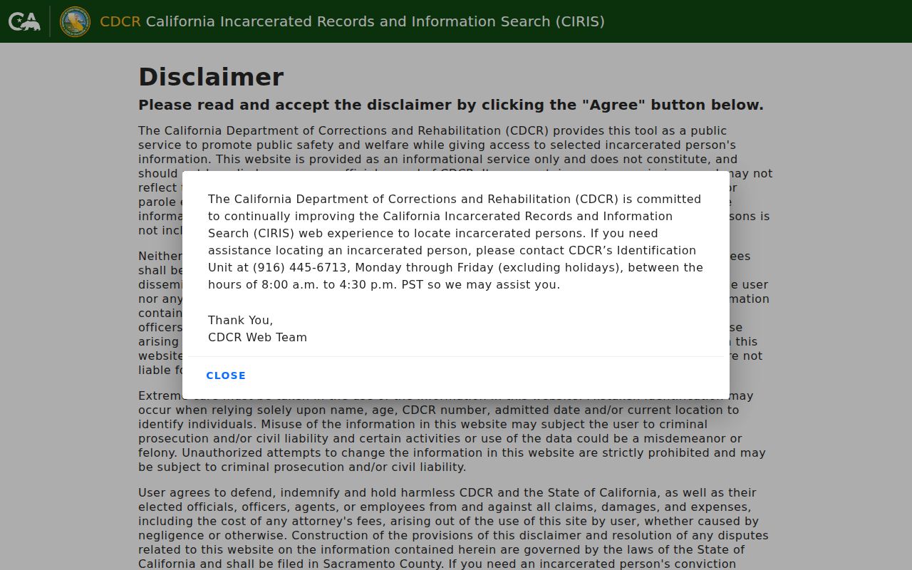
CIRIS can return custody and commitment details for a matching state record. It does not show who lives in a San Joaquin County ZIP.
The California offender registry information page explains the public registry purpose and its statutory use warning. It is a separate statewide source, not evidence that a ZIP is a neighborhood or that a nearby person poses a danger.
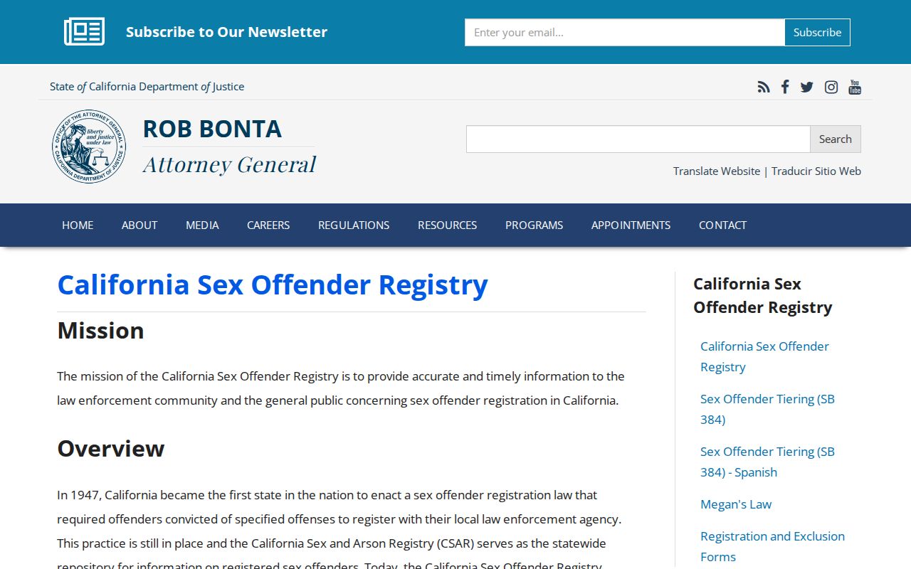
Registry information must be read as the official record states it. Do not infer facts beyond the record or use the search to target or harass a person.
The California Megan's Law search provides another official registry entrance with name and map modes. Its public-use warning and statutory limits control how any result may be used, and a map result is not a ZIP boundary layer.
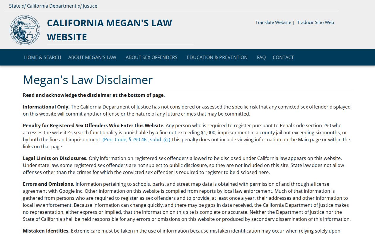
These statewide tools show why a ZIP code directory should separate postal geography from record purpose. A ZIP can narrow an address or an approved data file, but it cannot make every statewide search a resident list.
San Joaquin County ZIP to Street
A defensible ZIP code directory method narrows in stages. Start with a known civic or residential address in each claimed ZIP, validate the delivery result, and then move to the county parcel. The method protects against a postal community being mistaken for a city, a ZIP being drawn as a polygon, or a public record being read as proof of current residence.
- Enter the street address, apartment or suite, city, state, and known ZIP in USPS Address Lookup. Record the standardized city, state, ZIP, and ZIP+4.
- Plot the address in San Joaquin County GIS. Identify the APN and whether the parcel is incorporated or unincorporated.
- Check the relevant Assessor, Recorder, permit, or planning custodian by address or APN. The APN is an assessment identifier, not a person identifier.
- Repeat the test at boundary edges. Do not draw a countywide residential polygon from a ZIP list or from a Census ZCTA.
- For a person clue, use an approved voter extract only through its qualified route, and record the file date, active or inactive selection, residence ZIP, and permissible purpose.
Once a ZIP narrows to a named street, the San Joaquin County street directory workflow can move from address to APN and then to the relevant record custodian. Recorded plats and legal descriptions remain useful through annexation, street renaming, and postal change.
San Joaquin County USPS ZIP Fields
USPS Address Lookup is the first check because it standardizes the delivery address. The form includes the address fields below. ZIP+4 identifies a delivery segment, not a person. The result should be saved with the address used, since a later parcel or record search needs the exact string that produced the ZIP.
| Field or control | Input or control type | Use in an address check |
|---|---|---|
| Street address | Text | Enter the delivery street to locate the address |
| Apartment or suite | Text | Add the unit when it is part of the delivery address |
| City | Text | Supply the mailing city used with the address |
| State | State field | Choose California for a San Joaquin County check |
| ZIP | Text | Enter it when known and compare it with the returned result |
| Find | Button | Submit the address lookup |
| Clear | Button | Reset the form before a separate address check |
A ZIP is a five-digit postal delivery label. ZIP+4 adds four digits for a more exact delivery segment. A PO-box ZIP mainly serves box mail and should not be mapped as a residential polygon. A unique ZIP serves a high-volume organization or institution, not a normal neighborhood. A carrier route is a postal delivery route that groups delivery points; it is not a public list of residents.
- ZIP
- A USPS delivery-area label used to sort and route mail. It is not a municipal boundary or a count of people.
- ZIP+4
- A four-digit extension that identifies a delivery segment more precisely. It identifies mail routing, not an individual.
- PO-box ZIP
- A ZIP used mainly for post-office boxes or postal functions. Its presence does not define a residential area.
- Unique ZIP
- A ZIP assigned to a high-volume organization or special institution. It should be described by function, not as a neighborhood.
- Carrier route
- A postal route for grouped delivery points. It is a delivery layer, not an ownership or resident roll.
San Joaquin County ZIP Boundaries Need Validation
The Census Bureau's ZCTAs approximate ZIP delivery geography and must be labeled as ZCTAs with the relevant census vintage. A ZCTA population is not USPS delivery population. County GIS layers may show postal fields, but their current controls and layer labels require live verification. USPS address results remain the first source for a specific delivery point.
Boundary work should be repeated at city edges, rural routes, Delta tracts, and special-use ZIPs. The 95201, 95241, and 95378 PO-box cautions mean that a map polygon would misstate what those ZIPs do. The 95208 and 95211 unique or special-use cautions mean that a recipient-specific check is more useful than a neighborhood label.
When a postal result and a parcel result disagree, preserve both facts and ask which question each answers. USPS answers delivery. GIS answers location and jurisdiction. The Assessor answers parcel administration. A Recorder or permit office answers its own record set. That separation is the final safeguard in a San Joaquin County ZIP code directory and resident search.
Note: ZIP coverage is a working research inventory until each claimed address has passed USPS validation and a county jurisdiction check.